Stories · Weather
Typhoon Choi-Wan's trough brings scattered rains to Mindanao, parts of Visayas
The typhoon is still far out east, but PAGASA says its trough is bringing rain to all of Mindanao, with possible flash floods and landslides.
Typhoon Choi-Wan is still outside the Philippine Area of Responsibility (PAR), but its trough is already bringing rain to all of Mindanao and parts of the Visayas, the state weather bureau PAGASA (Philippine Atmospheric, Geophysical and Astronomical Services Administration) said on Sunday, October 4.
The forecast matters most for Mindanao residents. According to Philstar, PAGASA warned that moderate to at times heavy rain could cause flash floods or landslides in the areas under the trough.
Key figures
Where the rain is falling
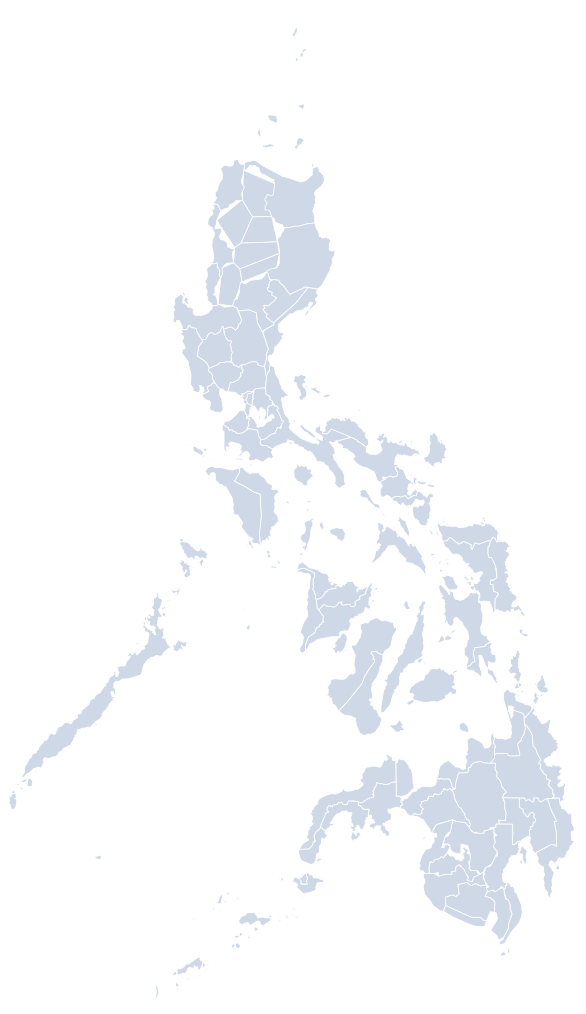
PAGASA weather specialist Grace Castañeda-Carpio said the bureau's satellite animation showed dense clouds associated with Choi-Wan's trough, The Manila Times reported. She said these would bring scattered rain showers to Western Visayas, the Negros Island Region, Central Visayas, Leyte, Southern Leyte and the whole of Mindanao.
Philstar's list was nearly the same. It said Mindanao, Western Visayas, the Negros Island Region, Central Visayas and Southern Leyte could see cloudy skies with scattered rains and thunderstorms because of the trough. In the Visayas, both outlets named Western Visayas, the Negros Island Region, Central Visayas and Southern Leyte; The Manila Times also included Leyte.
The two reports differ on Luzon. The Manila Times said the typhoon was expected to bring rain to most of Luzon. Philstar said Metro Manila and the rest of the country could expect partly cloudy to cloudy skies with isolated showers or thunderstorms, but it attributed those to localized thunderstorms rather than to the typhoon.
GMA News, the Inquirer and Cebu Daily News also reported that Choi-Wan's trough would bring clouds and scattered rains, including thunderstorms, to the Visayas and Mindanao.
Where the typhoon is
At 5 a.m. on Sunday, Choi-Wan was about 2,585 kilometers east of extreme Northern Luzon, according to Philstar. It carried maximum sustained winds of 155 kilometers per hour (km/h) near the center and gusts of up to 190 km/h, and it was moving north-northeast at 15 km/h.
By 3 p.m. the same day, the typhoon was 2,610 kilometers east of extreme northern Luzon and moving north at 15 km/h, The Manila Times reported. That afternoon bulletin put its maximum sustained winds at 175 km/h near the center, with gusts of 215 km/h, both higher than the morning figures.
The two reports agree that the typhoon was moving at 15 km/h. They differ slightly on its direction: Philstar's morning report said north-northeast, while The Manila Times' afternoon report said north.
Timeline
5 a.m.: Choi-Wan is 2,585 km east of extreme Northern Luzon; PAGASA says its trough may bring rain to Mindanao and parts of the Visayas. Philstar
3 p.m.: Choi-Wan is 2,610 km east of extreme northern Luzon with maximum sustained winds of 175 km/h. The Manila Times
Monday forecast: scattered rains in the Visayas and Mindanao; cloudy skies with isolated or sudden downpours in Luzon. The Manila Times
What to expect on Monday
For Monday, The Manila Times said Luzon would have cloudy skies with isolated or sudden downpours, while the Visayas and Mindanao would see scattered rains.
For Mindanao, PAGASA's forecast covers the entire island group. The flash flood and landslide warning reported by Philstar applies to the areas expected to get moderate to at times heavy rain from the trough.
Sources
Written and translated by AI (Claude) using only the reports listed below. Read the full story at the original source.
- Cebu Daily News — Typhoon Choi-wan trough to bring rains, thunderstorms over VisMin
- Inquirer — Typhoon Choi-wan’s trough to bring scattered rains to Visayas, Mindanao
- Philstar — 'Choi-Wan' trough to affect Mindanao, parts of Visayas
- GMA News — Cloudy skies, scattered rains expected in Visayas, Mindanao due to trough
- The Manila Times — Rains expected in Luzon, parts of Visayas, Mindanao